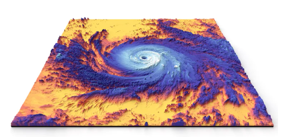
As part of the Earth System Observatory, each satellite will be designed uniquely to work together and create a 3D, holistic view of Earth, from bedrock to atmosphere.
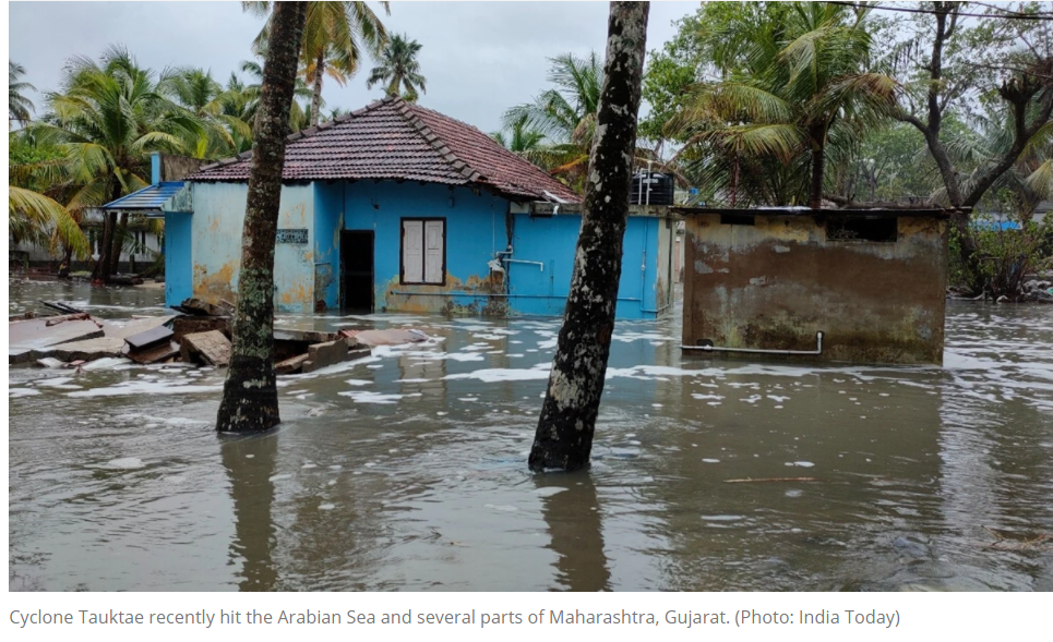
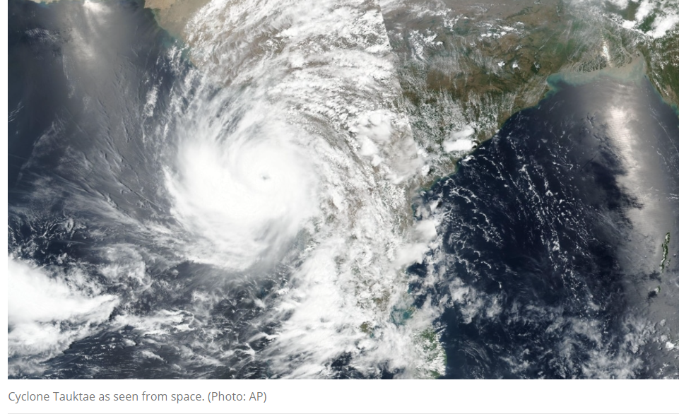
As India prepares to tackle the upcoming Cyclone Yaas, disaster management has emerged as a critical part of the global agenda as climate change leads to increased cyclonic storms, wildfires and major forest fires. Now, a new system to be developed by the National Aeronautics and Space Administration (Nasa) aided by radar systems from the Indian Space & Research Organisation (Isro) will provide key information to guide efforts related to climate change and disaster mitigation.
As part of the Earth System Observatory, each satellite will be designed uniquely to work together and create a 3D, holistic view of Earth, from bedrock to atmosphere.
“The observatory follows recommendations from the 2017 Earth Science Decadal Survey by the National Academies of Sciences, Engineering and Medicine, which lays out ambitious but critically necessary research and observation guidance,” Nasa said in a statement.
Isro to provide radar systems for observatory
While the observatory is at a formulation stage, Isro will provide two radar systems that can measure changes in Earth’s surface less than a half-inch. The radar to be used in one of the observatory’s first missions intended as a pathfinder has been dubbed as Nasa-Isro Synthetic Aperture Radar (NISAR).

“This mission will measure some of the planet’s most complex processes such as ice-sheet collapse and natural hazards such as earthquakes, volcanoes, and landslides,” Nasa said in the statement. NISAR will assist planners and decision-makers with managing both hazards and natural resources in the future.

Key focus on predicting natural hazards
The new system will focus on finding answers to the critical question of how aerosols affect the global energy balance, air quality forecasting, and prediction of severe weather. The system will also provide drought assessment and forecast, associated planning for water use for agriculture, as well as supporting natural hazard response.
Scientists will use the data from the observatory to understanding climate changes that impact food and agriculture, habitation, and natural resources. Meanwhile, it will also provide quantifying models of sea-level and landscape change driven by climate change, hazard forecasts, and disaster impact assessments including dynamics of earthquakes, volcanoes, landslides, glaciers, groundwater, and Earth’s interior.
Article Credit: indiatoday.in

Pingback: 9 climate change apps that could help you live greener in 2023 - SLSV - A global media & CSR consultancy network